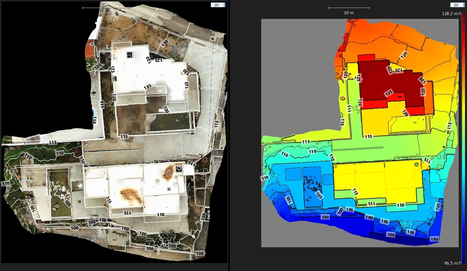
2D-3D mapping
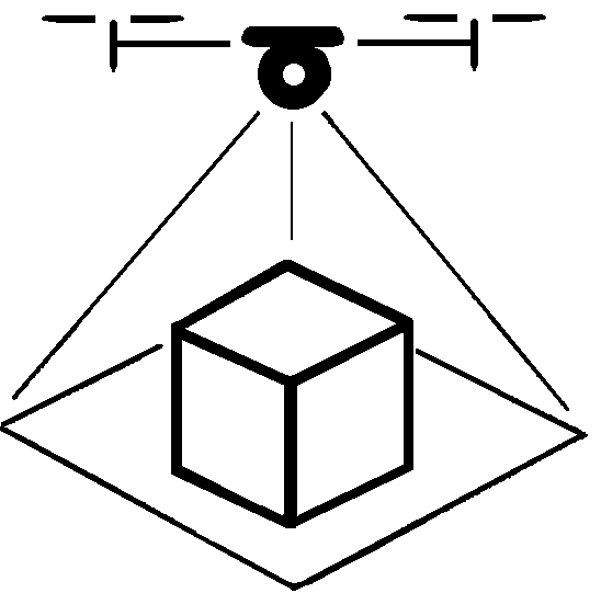
On site recording
Ortho photo, photogrammetry and LIDAR scanning,
Registration and cleaning of raw files
Geo-referencing with RTK precision
Multiple export formats
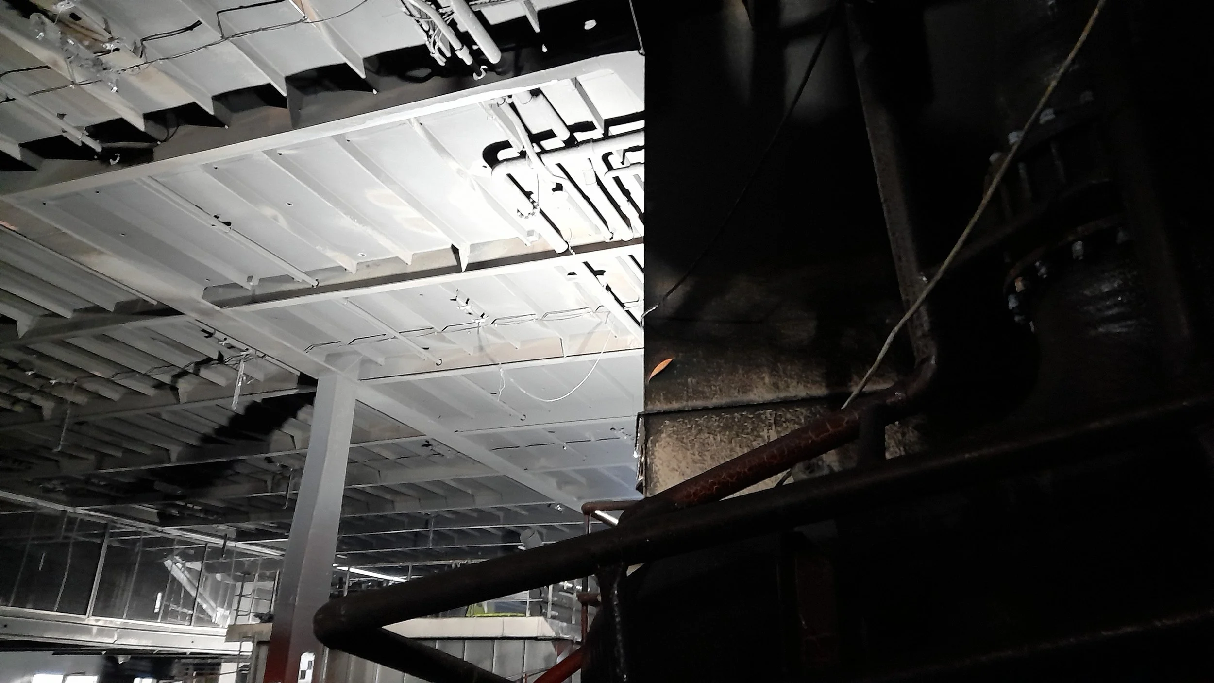
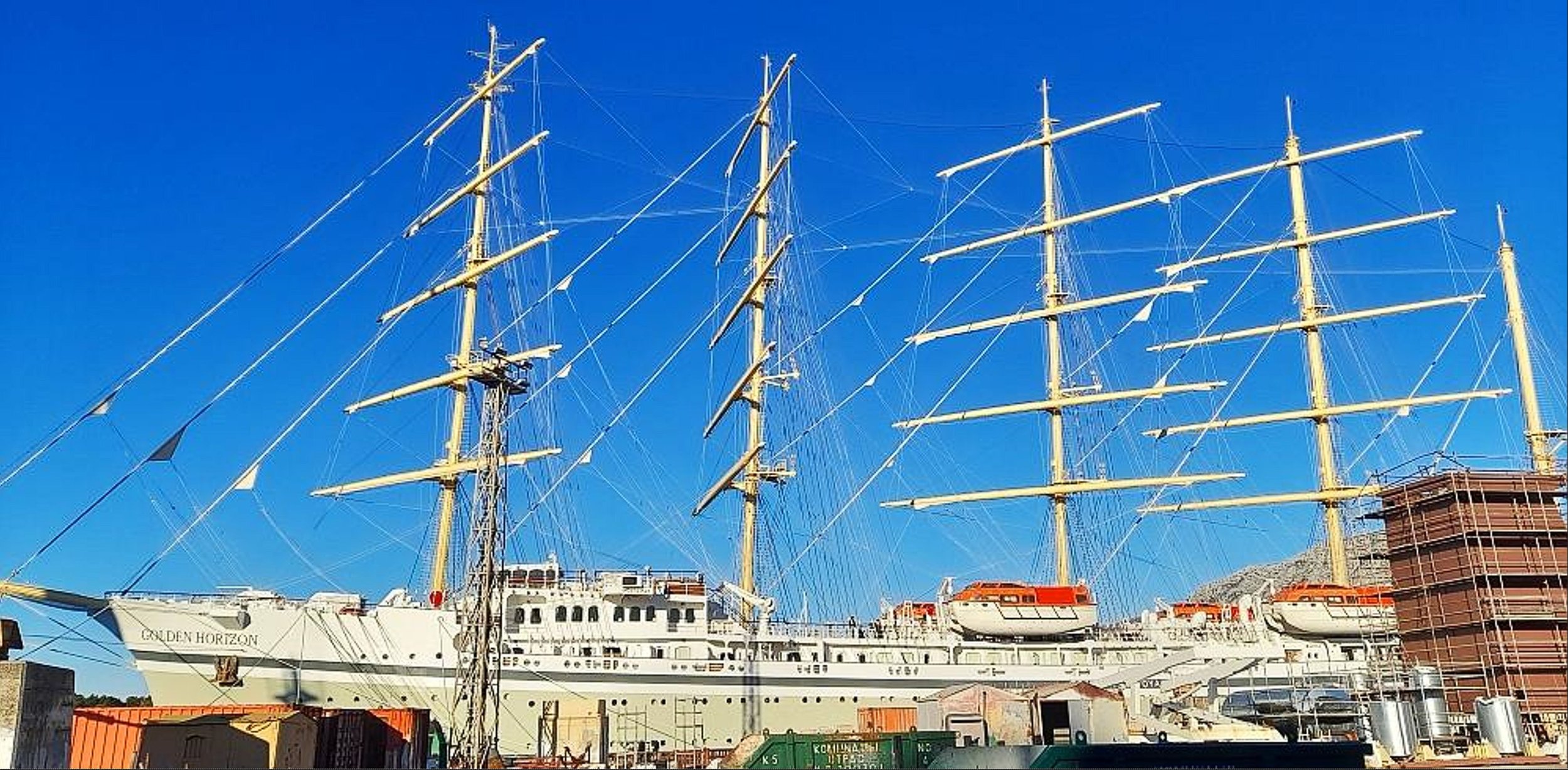
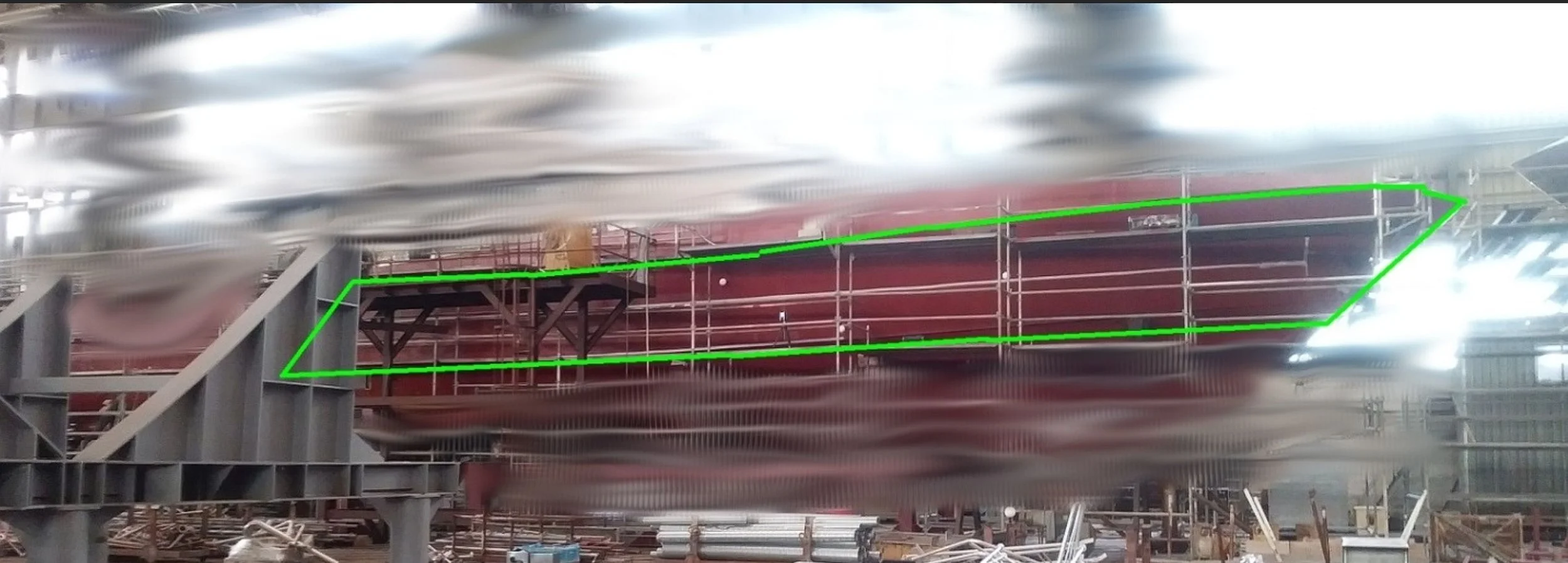
Examples:

What We Offer
We offer a range of services to meet the needs of every client. Have something else in mind? We'd be happy to work with you to create a custom quote.
-
On site recording and processing, export as raw point cloud or mesh
-
as Basic plus edited, cleaned mesh or point cloud, simplified if needed
-
Geo-referencing with RTK sensor precision, export or compare in QGIS, Cloud Compare or other software
-
Selection of different services to suit every customer needs
DISCLAIMER:
Our services are intended for informational purposes only and should not be relied upon as definitive measurements.
Please note that our personnel are not registered as official state survey engineers.
Let’s Work TogetherIf you're interested in working with us, complete the form with a few details about your project. We'll review your message and get back to you within 48 hours.